Sign up for FlowVella
Sign up with FacebookAlready have an account? Sign in now
By registering you are agreeing to our
Terms of Service
Loading Flow


Geography
Mountains and Peak
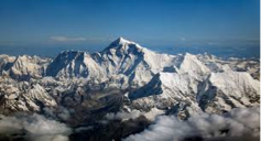
-Mt. Everest -Hindu Kush -Western Ghats
-Khyber Pass -Himalayas -Eastern Ghats
-29,035 ft
-highest mtn. peak in world
Bodies of Water
-Arabian Sea -Indian Ocean -Bay of Bengal
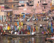
-Ganges River
-1,560 mi long
-lots of religious significance
-Brahmaputra River (very rural)
-1,800 mi long
-floods often
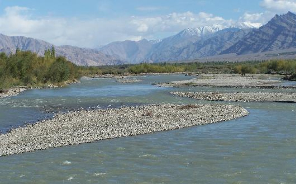
-Indus River
-1,975 mi long
Desserts and Plateaus
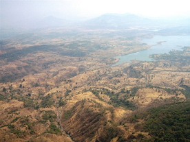
-Deccan Plateau
-31,800 mi in size
-elevation : 2,000 - 8,000 ft high
-"dakshina" (the south)
-Tibetan Plateau
-avg. elevation is 16,400 ft
-Thar Desert (Great Indian Desert)
-200 - 1,500 ft in elevation
-up to 127˚ F in July


