Sign up for FlowVella
Sign up with FacebookAlready have an account? Sign in now
By registering you are agreeing to our
Terms of Service
Loading Flow

Downloading Image /
Downloading Image /
Downloading Image /
Downloading Image /
Downloading Image /
Downloading Image /

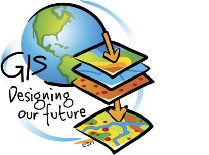
A geographic information system (GIS) lets us visualize, question, analyze, interpret, and understand data to reveal relationships, patterns, and trends.
GIS are often used to reveal more information.
GIS

Downloading Image /
Downloading Image /

FlowVella, Previously Known As Flowboard
© 2025 FlowVella
