Sign up for FlowVella
Sign up with FacebookAlready have an account? Sign in now
By registering you are agreeing to our
Terms of Service
Loading Flow

Claiming of Antartica
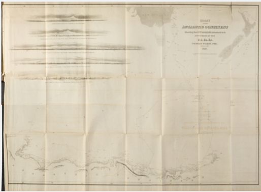
From January 16-febuary 21,1940, Captian Charles Wilkes and 433 of his men charted new land starting from Cape Hudson in Terre Adlie to the Shackleton Ice Shelf. Though he never reached the magnetic pole because of ice, the land he charted was now known as the Wilkes land. After he made this discovery, the United States made this a territory.

Map of Antartica circa 1840s (possession)

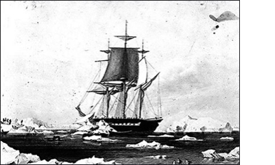
Sketch by Charles Wilkes depicting USS Vincennes in Disappointment Bay, Antarctica.(history)