Sign up for FlowVella
Sign up with FacebookAlready have an account? Sign in now
By registering you are agreeing to our
Terms of Service
Loading Flow

Downloading Image /

Geography of the India Sub-Continent
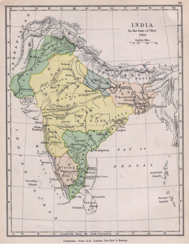
- It is a wedge shaped peninsular that extends into the Indian Ocean.
- The peninsular is surrounded by mountains on the north and south sides of it.
- The Himalayas are towards the top of the Continent.
- The Thar Desert is located here.
- There is also two plateaus that are very long they are the Deccan Plateau and the Tibetan Plateau.
- The Ganges, Brahmaputra and the Indus River are located in India.
~Wimds called Monsoons being rain in the summer. ~When there is no Rain crops are unable to grow
~ To much rain can cause dangerous floods.
~ Mt. Everest is 29,035 feet high. It is the HIGHEST mountain peak in the world.
~ The Ganges River is 1,560 miles long.
~ The Brahmaputra River is 1,800 miles long.
~ The Indus River is 1,975 miles long.
~ The Thar Desert can reach temperatures as high as 127 degrees fahrenheit.
What is located in India?
FACTS
Downloading Image /
Downloading Image /
Downloading Image /
Downloading Image /
Downloading Image /
Downloading Image /
Downloading Image /
Downloading Image /
Downloading Image /
Downloading Image /
Downloading Image /
Downloading Image /

FlowVella, Previously Known As Flowboard
© 2025 FlowVella
